Worth remembering
- The year-round local ferry calls at Lauvvik, Forsand, Revså, Bratteli, Bakken, Songesand, Kallali, Flørli, Håheller and Lysebotn.[3]
- The Lysefjord is 41 miles (66 km) from Stavanger and the drive takes around an hour and a half.[4]
- The electric fjord cruise from Stavanger passes Fantahala, Pulpit Rock and Hengjanefossen waterfall in 3.5 hours, from US$75.[5]
- Flørli is known for a stairway of 4444 steps that climbs the mountain from the fjord.[6]
- Some fjord farms are no longer worked, and their houses, barns and stone terraces are easiest to see from the water.
- Top choice Electric fjord cruise from US$75 Duration3.5 hours[5]Rated4.62 from 9,730 reviews[5]Audio guideEnglish, Norwegian[5]RouteFantahala, Pulpit Rock, Hengjanefossen[5] Check availability
- Low-emission cruise from US$76 Duration2.5 hours[7]Rated4.81 from 2,256 reviews[7]Audio guideEnglish, French, German and more[7]RoutePulpit Rock, Fantahala[7] See this tour
- RIB to Lysefjord from US$126 Duration2 hours[8]Rated4.92 from 1,526 reviews[8]Audio guideGerman, Italian, French and more[8]RouteLysefjord, Pulpit Rock, Hengjanefossen[8] See this tour
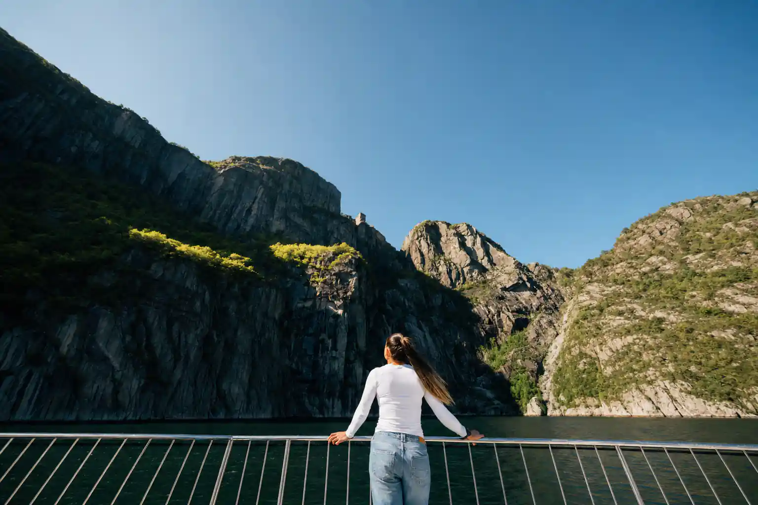
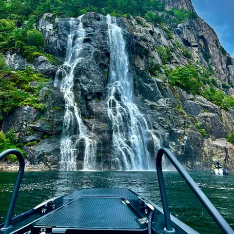
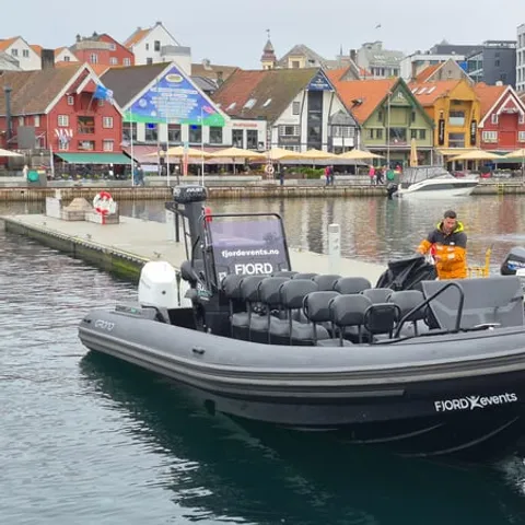
A year-round local ferry service sailing through the Lysefjord, with calls at Lauvvik, Forsand, Revså, Bratteli, Bakken, Songesand, Kallali, Flørli, Håheller, and Lysebotn .
Verdict: the electric fjord cruise
Getting there and around
Lysefjord Farms, Settlements and History
The Lysefjord was cut during the last Ice Age, about 10,000 years ago, when colossal glaciers carved deep valleys into the landscape.[9] What they left behind is a long, narrow trench in hard rock: approximately 40 kilometres long and up to 422 metres deep.[10] From the deck of a boat the walls read as one continuous cliff, grey and streaked, and the flat places are easy to miss until you start looking for them. That is where the story of the fjord farms begins, on the handful of shelves where a family could keep animals, cut grass and dry it.
Those shelves are the farms. A few metres of level ground, a slope that catches the sun and a stream for water were enough for a smallholding. Grass was cut by hand where no tractor could go, dried on racks and carried down to the water, and animals grazed the ledges above. From the water you can often pick out old field boundaries, a grey line of stone wall or a path, long after the people who built them moved away. Some of the old names still sit on maps of the fjord side, and a slow pass along the shore is the best way to read them.
The Smallholdings That Were Left Behind
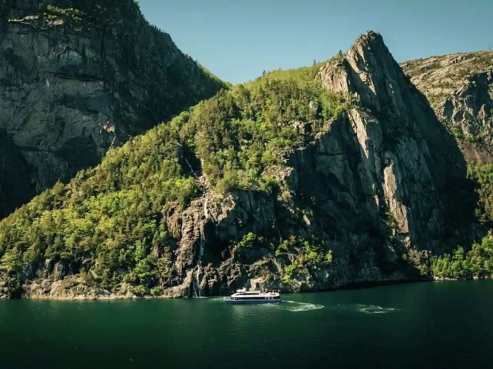
Not every farm along the fjord is still worked. Some holdings were given up, and what you notice from a boat now is the shape they left behind: a pale gable among birch, a strip of flat grass where hay was dried, a path running down to a small landing place. There is no signpost and no gate, which is part of the appeal. Boats pass close enough to look properly, and that is one reason the fjord rewards a slow cruise over a fast one, especially on an evening when the light is low and the walls are in shadow.
Nothing on this shoreline is easy ground. Land that looks like a meadow from the deck is usually a slope, and the buildings sit where the rock allows, not where the view is best. Walkers on the Preikestolen trail cross terrain of the same kind: the hike is less than 10km (6.2 miles) long, gains just over 600m and takes about 3 to 4 hours.[11] If you only have a day, the water gives you the wider picture, with the farms, the cliffs and the waterfalls all in one line of sight.

Stone walls, terraces and old landing places are easiest to spot from the water
Children and the School Boat
In a settlement with no road, the boat was everything at once: the school bus, the post van, the shopping trip and the ambulance. Children waited at a landing stage in whatever the weather was doing, and the same hull that carried them carried the mail and the milk. A school boat sounds strange if you grew up with buses, and entirely obvious if you grew up on a fjord. That is still the logic of this water, where the boat is the direct route between one small place and the next.
The Lysefjorden ferry service runs year-round, calling at Lauvvik, Forsand, Revså, Bratteli, Bakken, Songesand, Kallali, Flørli, Håheller and Lysebotn.[3] A child growing up here today gets a smoother crossing than a great-grandparent did, but the pattern holds: one boat, several stops, and a timetable the weather has a say in. Take that ferry and you travel the way the fjord was always travelled, past landing places that were once the only address a farm had.
Postal and Milk Routes Across the Water
Post, milk and groceries all went by boat, because there was no other reliable way to move them along the fjord. A landing place was the address. Crates came ashore at the same spot where children were picked up and where a farmer's eggs went out, and the boat's round tied scattered holdings into something that worked like a village. Look for those small stone quays and steps as you pass. They are modest, and they are the practical heart of the place.
You can still see the geography that made this necessary. Lysebotn sits at the head of the fjord, where the valley closes in, and the Lysefjord is 41 miles (66 km) from Stavanger, a drive of around an hour and a half.[4] The fjord shallows to only 13 metres near Oanes and Forsand.[10] By water the route is direct and the distances are short, and the boat has never stopped being the practical choice for a shoreline like this.
from US$75
The electric fjord cruise from Stavanger is an easy way to see the fjord settlements and cliffs from the water, and it starts from US$75[5].
Moving Livestock by Rowboat
Animals travelled by water too. Sheep and goats were moved between grazing, a cow might spend the summer on pasture across the fjord, and getting a young animal to market meant a trip in an open boat. Anyone who has watched livestock being loaded will understand that the loading place mattered as much as the pasture, and that a flat rock beside deep water was valuable ground. On a fjord where the shore is mostly cliff, a landing place is infrastructure.
Roads came late and came steeply. Lysevegen, the road winding from Lysebotn, has 27 hairpin bends and an elevation difference of more than 900 metres.[12] Driving it is a highlight in itself, with the fjord dropping away below the car. For the farms further out along the water, though, a road at the inner end of the fjord changed very little. Their connection stayed what it had always been: a boat, a landing and a neighbour with an outboard engine.
Settlements That Still Have No Road
Flørli is the best known of the roadless places, and its calling card is vertical: a stairway of 4444 steps climbing straight up from the fjord.[6] You arrive by water, climb if you have the legs, and leave by water. The small village around the landing stage is a reminder that industry came here as well, and that it too depended on the fjord for everything it shipped in and out. Standing on that quay, with mountains on both sides, the scale of the place is easy to feel.
If you want to see these places without driving, a Lysefjorden boat trip is the simple answer. The electric fjord cruise from Stavanger runs 3.5 hours and passes Fantahala, Pulpit Rock and Hengjanefossen waterfall, from US$75.[5] A low-emission fjord cruise covers similar ground in 2.5 hours from US$76,[7] and a RIB tour does it in 2 hours from US$126.[8] Whichever you choose, you are looking at the same shoreline the farmers worked, from the same level they worked it.
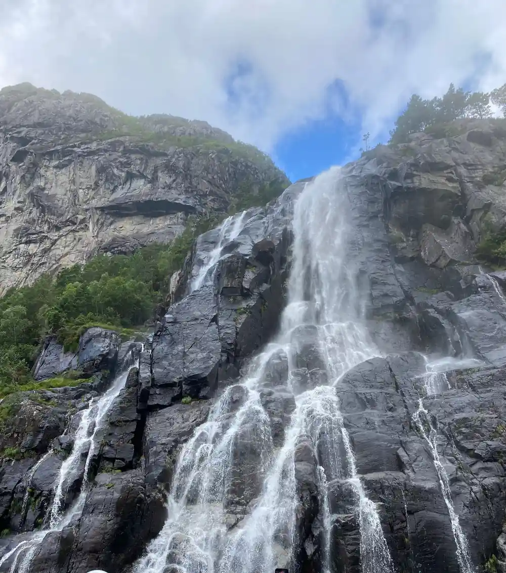
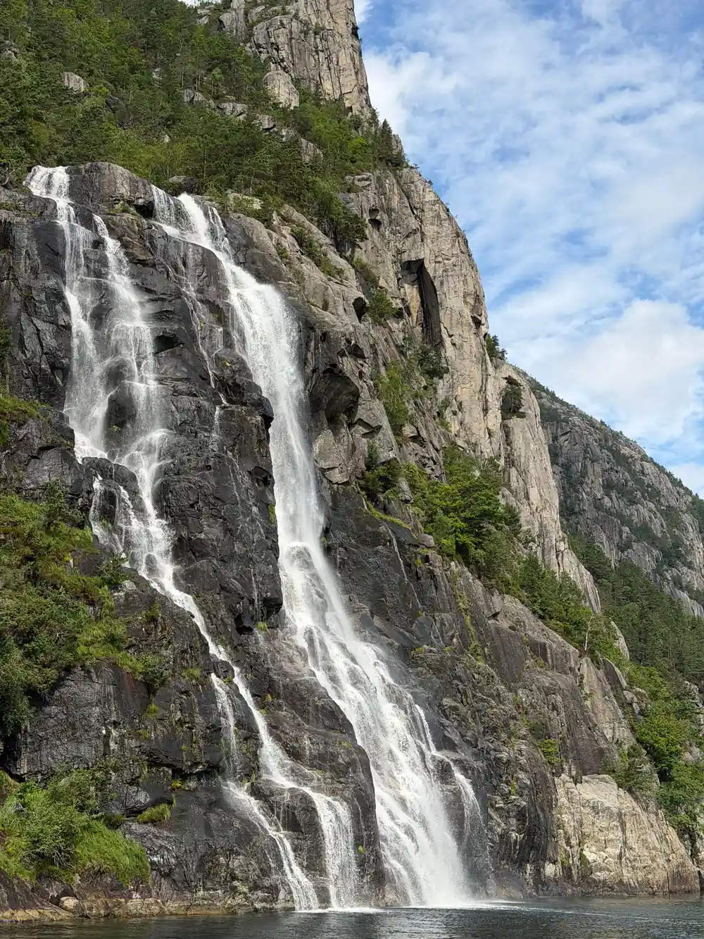
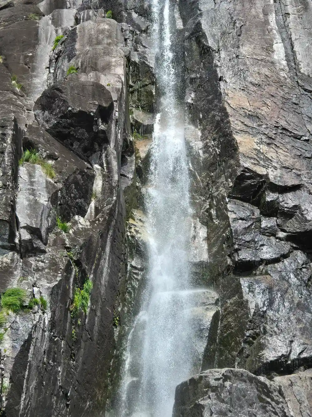
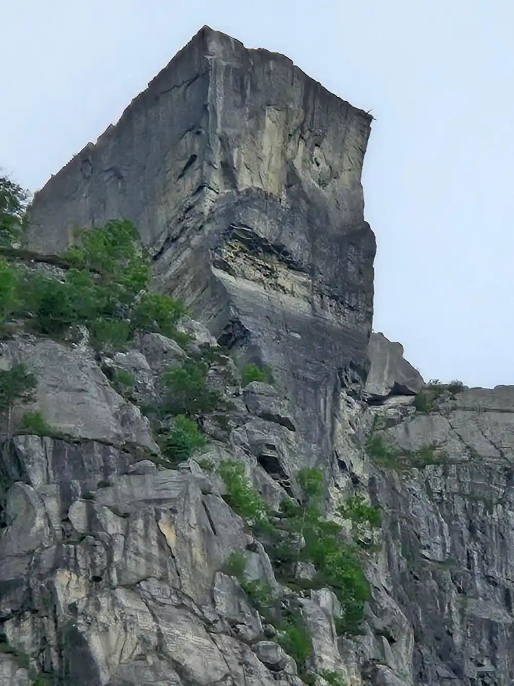
From the deck, find the landmarks that set the scale. Preikestolen rises 604 metres above the fjord,[13] and Hengjanefossen waterfall is reported at around 400 metres.[14] Kayakers see the same walls from sea level, with private guided kayak tours on the Lysefjord for groups of up to 12 people.[15] Below all of it the water is deep and dark, and the farms sit in the narrow band between fjord and rock.
Tunnels and Modern Ferries Changed Everything
Roads, tunnels and faster boats turned the Lysefjord from a place you lived behind into a place you visit. The drive from Stavanger takes around an hour and a half,[4] and the local ferry still threads the fjord through the year.[3] Cruise ships berth at Skagenkaien, Strandkaien or Skansekaien in Vågen, Stavanger's city-centre inner harbour.[16] Arriving by train is possible too: the Sørlandsbanen from Oslo takes around seven to eight hours.[17]
Where you sleep has changed as well. The Bolder offers architecturally unique cabins in Lysefjorden, designed to minimise environmental impact.[18] Plenty of travellers base themselves in Stavanger instead and treat the fjord as a day out, which suits the boat timetables: the electric cruise is 3.5 hours, the low-emission cruise 2.5 hours and the RIB tour 2 hours.[5][7][8] The settlements on the shore are no longer places you have to live behind. They are places you can visit, look at properly and, with a ferry ticket, walk around for an hour.
Heights above the Lysefjord
Each bar is a height above the fjord in metres, as stated by Region Stavanger[13], Earth Trekkers[19] and a komoot user tip[14].
What a fjord trip from Stavanger costs
From-prices in US dollars for the electric fjord cruise[5], the low-emission cruise[7], the RIB tour[8] and the guided Preikestolen hike[20].
When to go and how to time it
How to plan a fjord day
Pick your boat
Fast RIB, low-emission cruise or silent electric boat. The RIB tour to Lysefjord and Preikestolen runs 2 hours from US$126.[8]
Book a slot
Reserve now and pay later is offered on the electric fjord cruise, so you can hold a place before you travel.[5]
Watch the shoreline
The farms and landing places sit low on the fjord side, below the cliffs, so look down and along rather than up at Preikestolen.
Add the hike
The Preikestolen hike is less than 10km (6.2 miles), gains just over 600m and takes about 3 to 4 hours.[11]
Check the ferry
The local ferry calls at Forsand, Flørli and Lysebotn and runs year-round, if you want to step ashore rather than pass by.[3]
See the fjord farms and villages from the water on the electric cruise
from US$76Reserve now & pay later