Worth remembering
- Lysefjord was formed during the last Ice Age, approximately 10,000 years ago, when colossal glaciers carved deep valleys into the landscape.[7]
- The Lysefjord is approximately 40 kilometres long and up to 422 metres deep, though it shallows to only 13 metres near Oanes and Forsand.[8]
- Preikestolen rises 604 metres above the Lysefjord in Ryfylke, and Kjeragbolten is a boulder wedged 1,000 meters above Lysefjord.[9][10]
- Hengjanefossen waterfall in Lysefjord has an impressive height of around 400 meters, according to a user tip on Komoot.[11]
- The electric fjord cruise to Lysefjord and Preikestolen takes 3.5 hours from Stavanger and starts from US$75.[12]
- Top choice Electric fjord cruise from US$75 Duration3.5 hours[12]Rating4.62 from 9,730 reviews[12]AccessWheelchair accessible[12]Audio guideEnglish, Norwegian[12]CancellationFree cancellation up to 24 hours[12] Check availability
- Low-emission cruise from US$76 Duration2.5 hours[13]Rating4.81 from 2,256 reviews[13]AccessWheelchair accessible[13]Audio guideEnglish, French, German, Italian, Norwegian, Spanish[13]CancellationFree cancellation up to 24 hours[13] See this tour
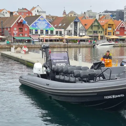
- RIB safari to Lysefjord from US$126 Duration2 hours[14]Rating4.92 from 1,526 reviews[14]AccessSkip the ticket line[14]Audio guideGerman, Italian, French, Spanish, English[14]CancellationFree cancellation up to 24 hours[14] See this tour
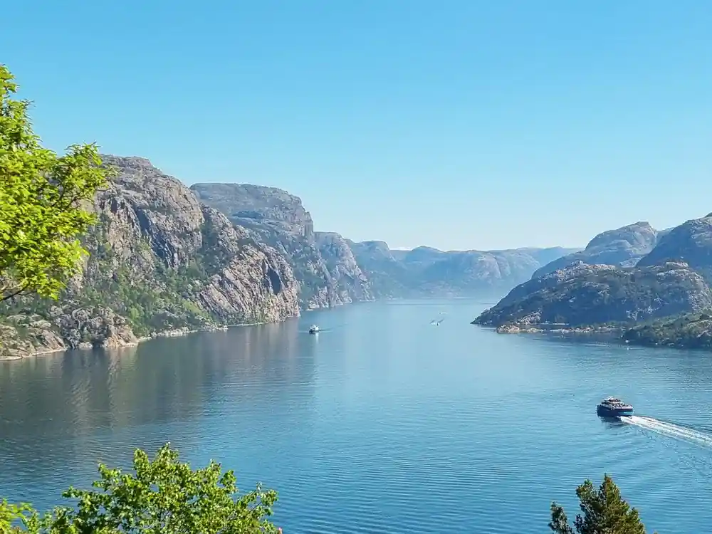
Lysefjorden, as we call it in Norwegian, was formed during the last Ice Age, approximately 10,000 years ago, when colossal glaciers carved deep valleys into the landscape.
Is the Lysefjord worth a day of your trip?
Book and prepare
On the water and the trail
- Bring sunglasses; the fjord throws light back at you on a bright day.
- Pack a windproof layer; the open deck is exposed once the boat moves.
- Shoes with grip help on the rocky, worn sections of the Preikestolen trail.
- The electric fjord cruise is wheelchair accessible.[12]
How glaciers carved the Lysefjord out of bedrock
Lysefjord was formed during the last Ice Age, approximately 10,000 years ago, when colossal glaciers carved deep valleys into the landscape.[7] The ice did not simply dig. It dragged rock with it, froze onto boulders and tore them loose, then ground the debris along the floor like sandpaper. What is left is a trough with a deep, rounded floor and walls that rise almost vertically: a corridor cut into a plateau rather than a valley in the ordinary sense.
Stand on deck and the shape explains itself. Side valleys that once carried their own glaciers now end high on the wall as hanging valleys, and the streams that drain them fall free instead of meeting the fjord at water level. Ridges of loose rubble mark places where the ice paused or dumped its load. Rock faces are often smoothed on one side and jagged on the other, the signature of ice that moved in one direction for a long stretch of time. The plateau above is a bare, wet, stony world of small tarns and bog cotton, and it drains into the fjord through the cracks and the hanging valleys below.
Water depths beneath the electric catamaran
The Lysefjord is approximately 40 kilometres long and up to 422 metres deep, though it shallows to only 13 metres near Oanes and Forsand.[8] Those numbers describe a long, narrow trough with a shallow lip near its mouth and a much deeper basin further in, which is the shape ice tends to leave behind when it scours a valley. Reading the depth as you go is one of the quiet pleasures of a fjord cruise: the bottom falls away, holds steady, then drops again as the boat crosses a threshold into the next basin. Depth like that puts a great deal of water between you and the rock on the other side, which is worth remembering whenever the fjord feels narrow.
Sailing on an electric boat changes the experience more than you might expect. Brim Explorer's electric Lysefjord cruise is a 3.5-hour silent, hybrid-electric fjord cruise from Stavanger to see Preikestolen (Pulpit Rock) from the water.[15] With no engine note under the deck you hear the water moving along the hull, the echo coming back off the walls and the gulls working the cliff. The air on the open deck stays clean too, which matters when you plan to stand there for the whole run.
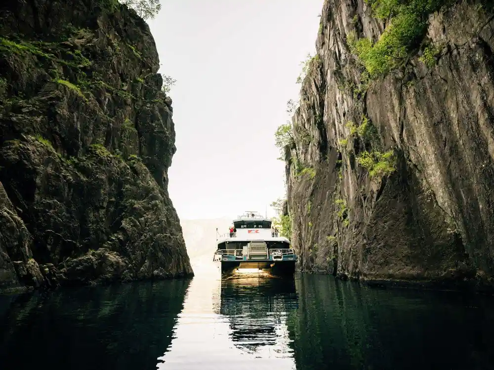
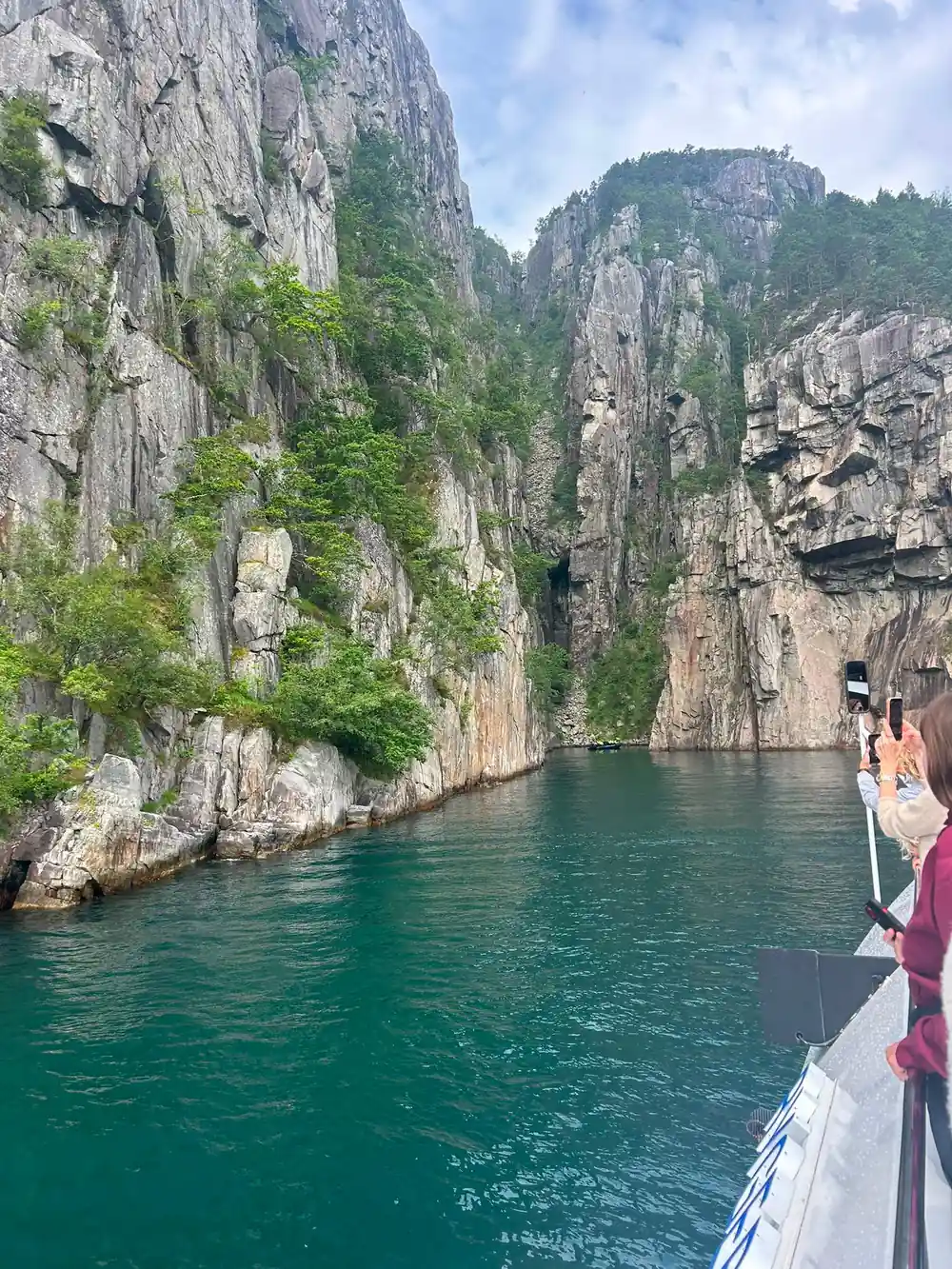
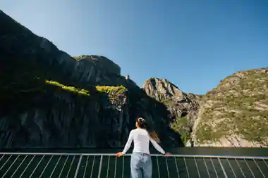
The fjord narrows inland, and the walls close in on both sides of the boat.
The cliffs that frame Preikestolen and beyond
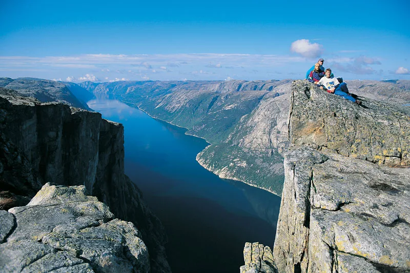
Preikestolen (the Pulpit Rock) rises 604 metres above the Lysefjord in Ryfylke.[9] From the water it reads as a shelf pushed out of the wall, flat on top and sheer underneath, and it is a large feature rather than a small outcrop: boats slow, cameras come up, and the cliff keeps climbing past the top of the frame. The plateau itself is bare rock, so the edge is where the flat ground simply stops. From the trailhead the cliff disappears for most of the walk and then reappears all at once; from the deck it stays in view for as long as the boat takes to pass.
Further along the fjord, Kjeragbolten is a boulder wedged 1,000 meters above Lysefjord, reached by a strenuous 12 km trail.[10] The Preikestolen hike is a gentler proposition: less than 10km (6.2 miles) long, with an elevation gain of just over 600m, and about 3 to 4 hours to complete.[16] Much of the route is laid stone and boardwalk over wet ground, with bare rock near the top. Wear shoes with grip, carry water and start early enough that you are not finishing the descent in the dark.
Why the Lysefjord is called the Light Fjord
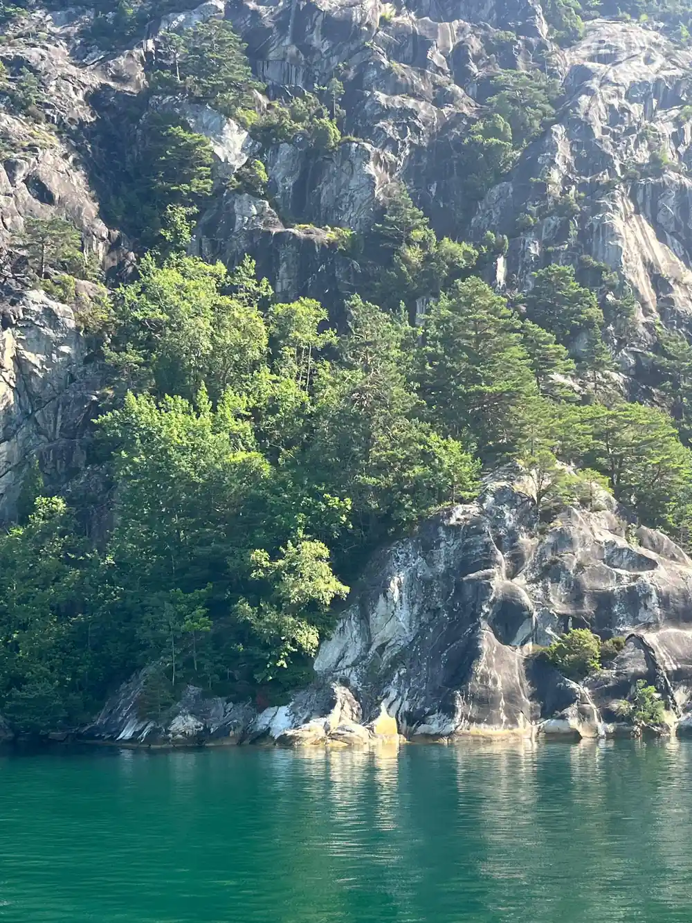
In Norwegian, lyse points towards light, and the fjord is usually described that way: pale rock walls, water that shifts between green and grey, and long summer evenings that keep the far end of the valley glowing after the sun has gone from the harbour. The effect is strongest when the sun is low and raking across the rock, lighting one wall and leaving the other in deep shade. In the middle of a bright day the fjord can look flatter and a little hazy, especially in high summer when the light comes almost straight down. The best of it comes late, when the sun sits low behind the plateau and the far wall turns gold.
Fjord light changes quickly. A cloud passing overhead can flatten the whole scene, then a gap opens and the cliff edge lights up like a blade. Rain darkens the rock to near black and makes the waterfalls seem louder. The fjord is narrow enough that both walls are often in view at once, one bright and one shadowed, with a doubled reflection on the water between them. An open deck is the best place to watch this happen, because you can turn with the light instead of looking at it through a window.
from US$75
The electric fjord cruise from Stavanger runs 3.5 hours to Pulpit Rock and Hengjanefossen Waterfall, and it is wheelchair accessible.[12]
How Hengjanefossen waterfall forms and falls
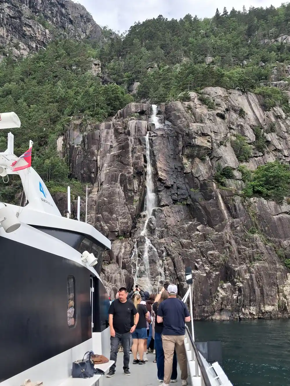
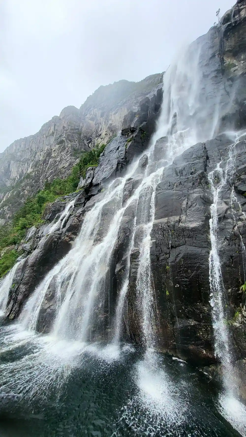
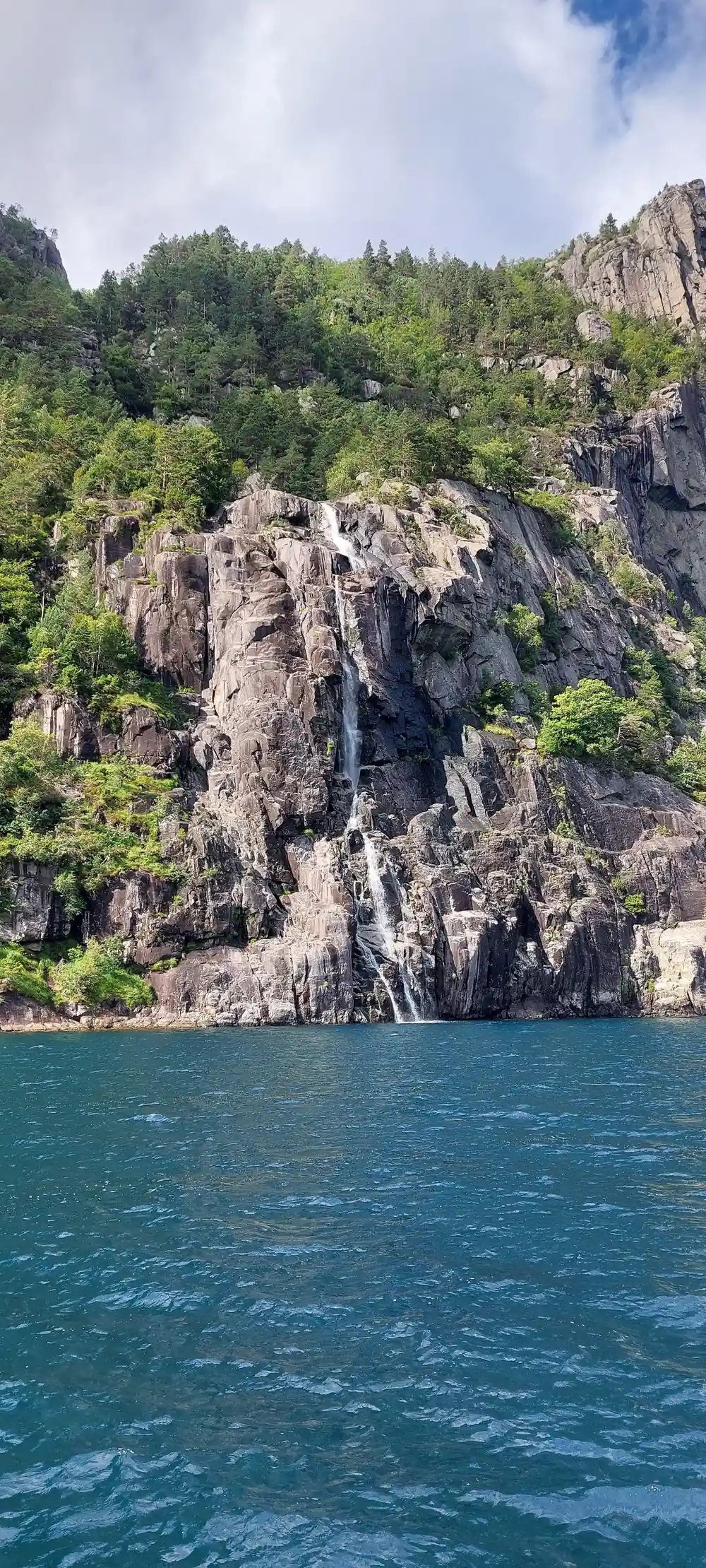
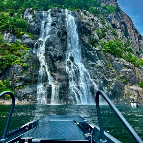
Hengjanefossen in Lysefjord has an impressive height of around 400 meters, according to a user tip on Komoot.[11] A fall of that scale is really a chain of falls: rain and meltwater gather on the plateau, find a line of weakness in the rock, drop, hit a ledge, gather again and drop once more. Where a glacier once filled the valley, side streams are left hanging, so the water arrives at the fjord from high above rather than down a gentle slope. The electric fjord cruise lists Hengjanefossen Waterfall among its stops.[12]
The volume changes through the year. Snowmelt and summer rain both add to it, and a wet spell can change the fall within hours. Where the water meets the fjord it arrives as drifting spray rather than a single column, so boats tend to hold a little off the wall. A fall this tall is a small weather system of its own, pulling wind down the cliff face with it. Photographers get better pictures with the sun behind them and a cloth for the lens; anyone on deck should expect to get damp, which on a warm day is no hardship at all.
Narrow walls and steep sides shaped by ice
Narrow walls mean both sides of the fjord can sit in a single view, one lit and one in shadow, and they make this stretch of water feel far more enclosed than the open coast nearby. Lysevegen, the road that winds from Lysebotn, has 27 hairpin bends as it climbs.[17] At Flørli, the stairway up the mountain consists of 4444 steps.[18] Neither is a casual outing, and both show how steeply this landscape stacks: valley floor, road, stairway and plateau all crowded into a short horizontal distance. The fjord bends as well as narrows, so the view closes behind you and opens ahead of you in turns.
Getting to the fjord overland from Stavanger is a drive of 41 miles (66 km) that takes around an hour and a half.[19] A year-round local ferry service also sails through the Lysefjord, calling at villages along the way.[20] Cruise ships berth at Skagenkaien, Strandkaien or Skansekaien in Vågen, Stavanger's city-centre inner harbour.[21] Whichever way you arrive, the fjord is the last part of the journey, and the part that resets the scale of everything around you. Driving in gives you tunnels, ferries and the high plateau; arriving by water gives you the walls at their full height and no switchbacks at all.
Brackish water layers and fjord salinity
Fjord water is layered. Rain and meltwater arrive as fresh water, which is lighter than the sea, so it sits on top in a thin, cool lid while saltier water stays below. The boundary between the two is sharp enough to measure, and it moves with the season, the tide and the wind. In a trough this deep the lower water can stay cold and still for a long stretch of time; the Lysefjord reaches up to 422 metres in depth and shallows to only 13 metres near Oanes and Forsand.[8]
You will not see the layers, but you can sometimes feel them: a band of colder, fresher water near a river mouth or under a waterfall, warmer and saltier water out in the middle of the fjord. Kayakers notice the moment a paddle passes through the surface layer, and swimmers notice it too. In winter the freshwater lid is cold and heavy with melt; in summer it is thinner and warmer. A hand trailing over the side of a boat feels the same thing in miniature.
Vertical scale around the Lysefjord
Every bar is a height or depth stated by a researched source:[9],[10],[8] and[11].
What a Lysefjord day out costs from
US dollar from-prices for these listings:[12][13][14][22]
When to book a Lysefjord trip
Plan the fjord day
Choose boat or trail
The fjord is best seen from the water and Preikestolen is best seen on foot. Pick one for your first day and keep the other for your second if you have the time.
Book the cruise
The electric fjord cruise takes 3.5 hours from Stavanger and can be reserved now with payment later.[12]
Pack your layers
Open decks are windy and shaded water between the walls is cold. A windproof shell over a warm mid layer works better than one thick jacket.
Find the departure point
Cruise ships berth at Skagenkaien, Strandkaien or Skansekaien in Vågen, the city-centre inner harbour.[21] Give yourself time to walk the waterfront rather than arriving at a run.
Watch the weather
Cloud, rain and low sun change the cliffs completely. If you have a spare day, hold it back for whichever trip suits the forecast best.
See the Lysefjord cliffs from the water on an electric cruise
from US$76Reserve now & pay later