Worth remembering
- The Lysefjord is approximately 40 kilometres long and up to 422 metres deep, though it shallows to only 13 metres near Oanes and Forsand.[6]
- The hike to Kjeragbolten is a strenuous 12 km trail, and the boulder sits wedged 1,000 meters above Lysefjord.[7]
- The Flørli stairs consist of 4444 steps, starting above the fjord village that the local ferry calls at all year.[8][9]
- Lysevegen, the road that winds from Lysebotn, has 27 hairpin bends, and driving it is how many people see the head of the fjord.[10]
- The Lysefjord is 41 miles (66 km) from Stavanger, and the drive takes around an hour and a half, or you can travel the water by ferry.[9][11]
- Top choice Electric fjord cruise from US$75 Duration3.5 hours[12]Rated4.62 from 9,730 reviews[12]Audio guideEnglish, Norwegian[12]StopsFantahala, Pulpit Rock, Hengjanefossen[12] Check availability
- RIB safari to Lysefjord from US$126 Duration2 hours[13]Rated4.92 from 1,526 reviews[13]Audio guideGerman, Italian, French, Spanish, English[13]StopsLysefjord, Fantahala, Pulpit Rock, Hengjanefossen[13] See this tour
- Low-emission fjord cruise from US$76 Duration2.5 hours[14]Rated4.81 from 2,256 reviews[14]Audio guideEnglish, French, German, Italian, Norwegian, Spanish[14]StopsPulpit Rock, Fantahala, Hengjanefossen[14] See this tour
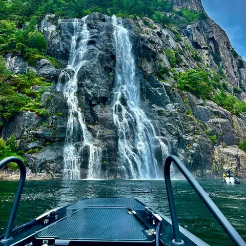
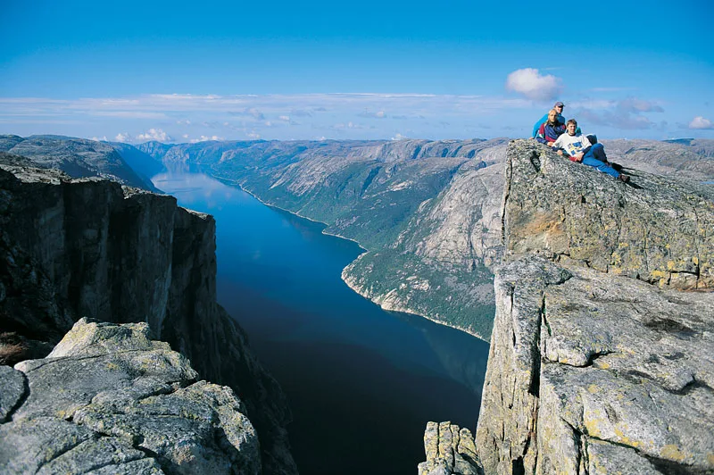
Kjeragbolten is one of Norway’s most iconic and nerve-wracking hikes: a boulder wedged 1,000 meters above Lysefjord, reached by a strenuous 12 km trail from the Stavanger area.
Is the deep fjord worth an extra day?
Plan ahead
- Book fjord cruises and RIB seats ahead for busy summer dates
- Allow a full day for the drive out to Lysebotn and back to the city
- Check the mountain forecast; cloud can close the high roads
- Cards work almost everywhere in Norway, including on ferries
On the day
- Pack a windproof shell, sunglasses and a warm layer for the boat deck
- Wheelchair accessible fjord cruise from Stavanger is available.[12]
- Small group hikes cap their numbers, so reserve before you travel
- Wear grippy shoes with ankle support for the rock slabs and steps
The Inner Fjord Beyond the Turning Point
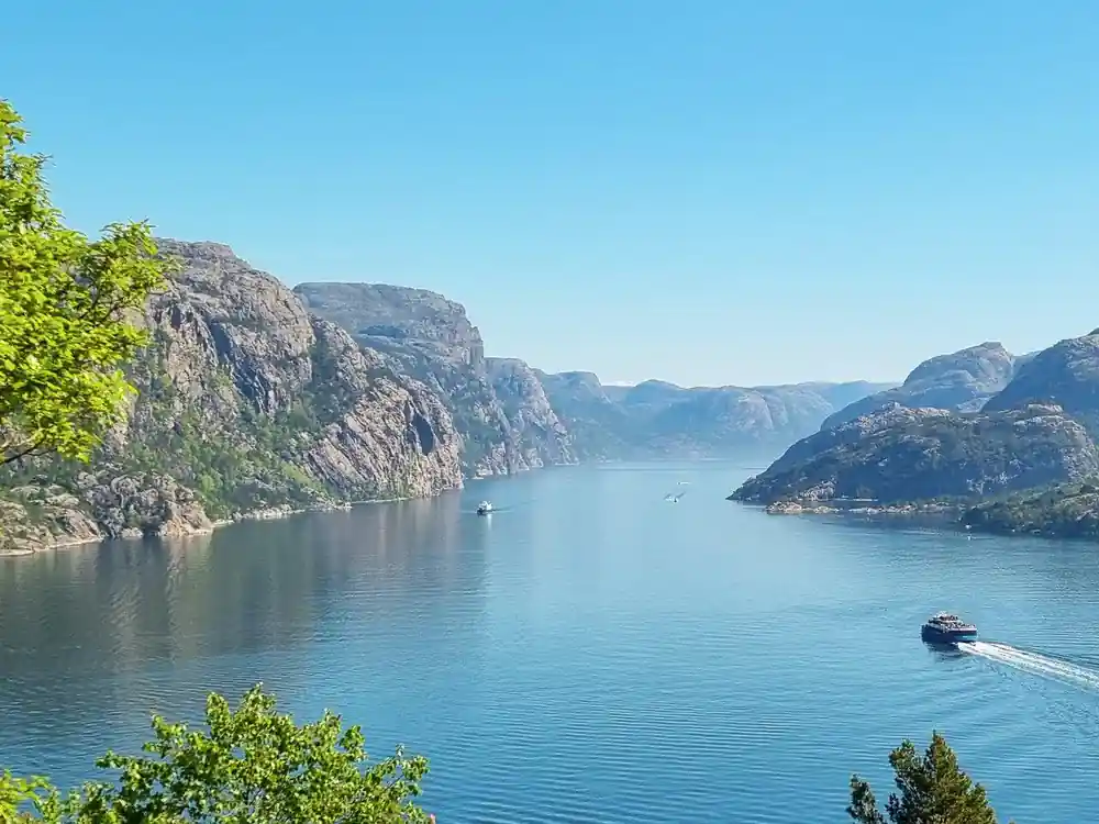
Cruises from Stavanger often turn around below Preikestolen and head back to the harbour. Keep going east instead and the water narrows into the long, deep body of the fjord that runs inland to Lysebotn. The Lysefjord is approximately 40 kilometres long and up to 422 metres deep, though it shallows to only 13 metres near Oanes and Forsand.[6]
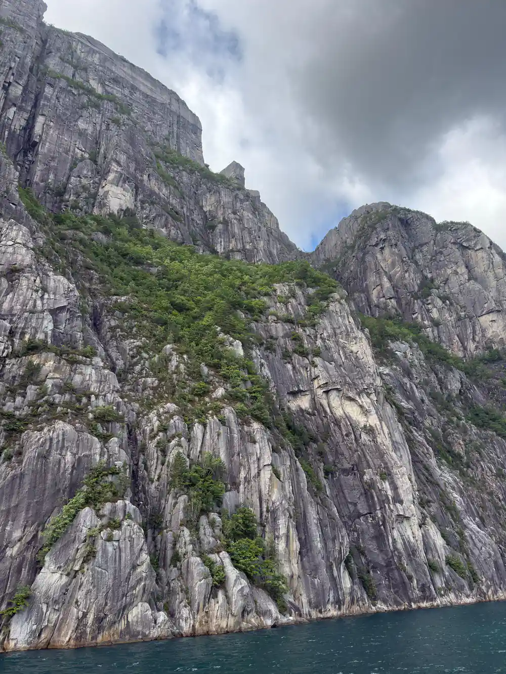
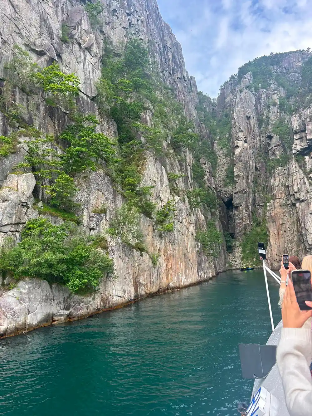
The walls around you were cut by ice. Lysefjord was formed during the last Ice Age, approximately 10,000 years ago, when colossal glaciers carved deep valleys into the landscape.[15] What is left is a channel with near-vertical sides, so a boat feels small on it, the water turns black in the shade and the sun reaches the surface late in the morning.
Kjerag, Flørli and Lysebotn organise this end of the fjord. Kjerag stands high above the southern shore, Flørli clings to the waterline on the other side, and Lysebotn sits at the head of the water, where the road climbs away from the pier. This is the Lysebotn-Lysefjorden stretch that day trippers from the city tend to skip, and it is the reason to give the inner fjord a day of its own.
Kjeragbolten: A Boulder Wedged Between Two Cliffs
The Kjerag walk finishes at a boulder caught between two rock faces with a long drop below it. The hike to Kjeragbolten is a strenuous 12 km trail, and Kjeragbolten is a boulder wedged 1,000 meters above Lysefjord.[7] The path climbs in stages, with chains on the steepest slabs and long stretches of bare rock that stay slick after rain, so the day is longer and rougher than the distance suggests.
If you are choosing between the famous viewpoints, Preikestolen vs Kjerag is really a question about time and effort. Preikestolen (the Pulpit Rock) rises 604 metres above the Lysefjord in Ryfylke.[16] The Preikestolen hike is less than 10km (6.2 miles) long with an elevation gain of just over 600m and takes about 3 to 4 hours to complete.[17] The drive from Stavanger to Kjerag is longer, and that trail takes most of a day on its own.
Weather decides how the day goes. Rock slabs hold water, and the plateau has nothing to shelter behind, so a shell, gloves and a spare layer earn their place in the bag even in high summer. Look at the forecast the evening before and be ready to swap Kjerag for a boat trip if the cloud is sitting on the mountain.
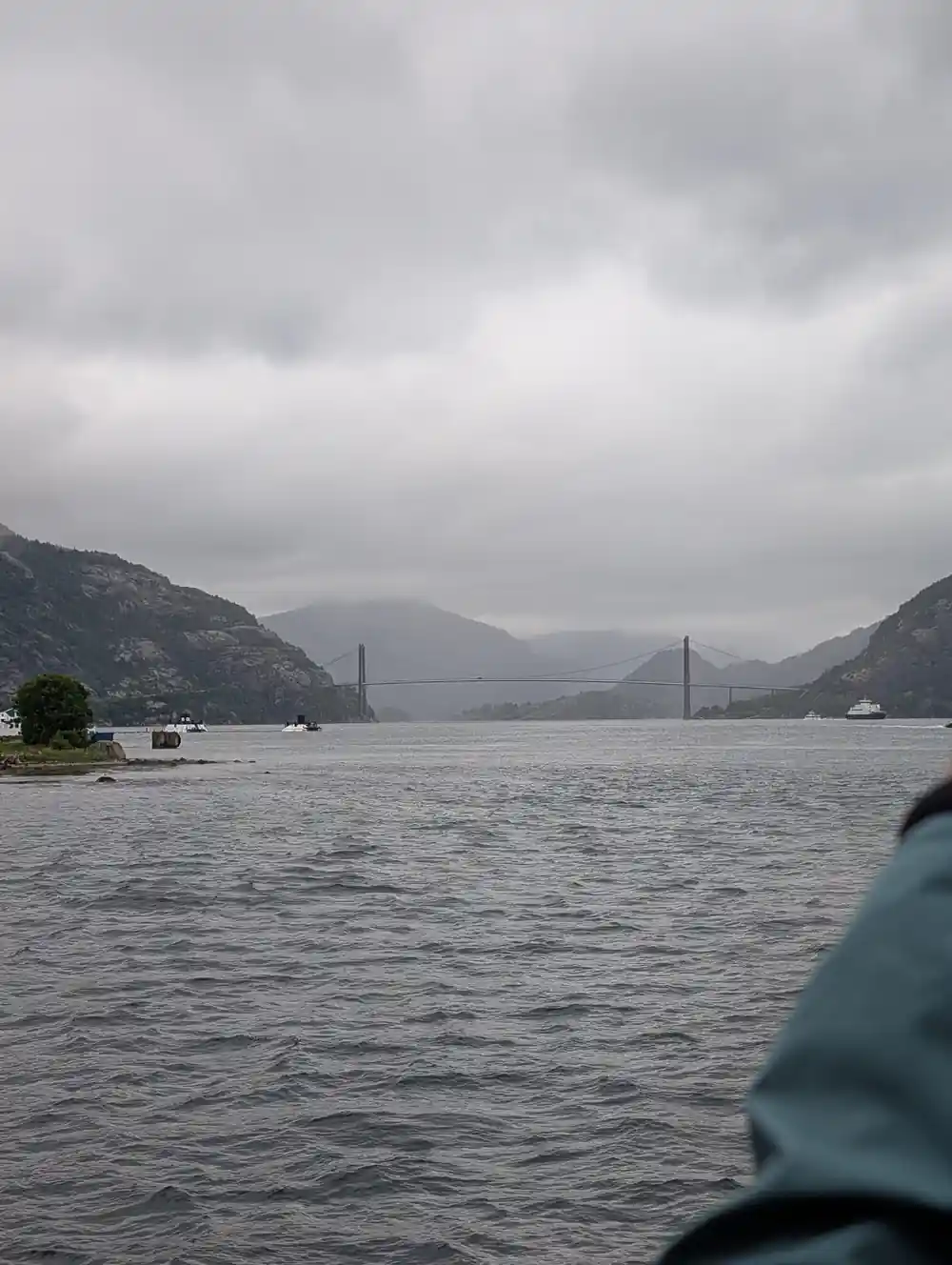
The fjord narrows and deepens as the boat turns east towards Lysebotn.
Flørli: The Stairway and Its Hydropower Legacy
Flørli has no road to it. You arrive by water, and the village sits at the foot of a stairway that climbs the mountain behind it. The Flørli stairs consist of 4444 steps.[8] Even a partial climb gives you the fjord from above, with the ferry pier and the handful of houses turning into dots below you.
Flørli is a former hydropower village, and the old station buildings still stand at the waterline beneath the stairway. Walking the lower flights makes a good half-day: the steps are steep and regular, the trees give way to open rock, and the view opens with every bend. Carry water and something to eat, and check the return boat before you start climbing.
Reaching it is straightforward if you build the day around one timetable. The Kolumbus local ferry service on the Lysefjord to Lysebotn runs year-round, and Flørli is one of its stops.[9] The last boat of the day leaves whether or not you are on the pier, so note the times when you arrive and again before you head uphill.
Lysevegen: The Mountain Road of Hairpin Bends
Lysevegen, the road that winds from Lysebotn, has 27 hairpin bends.[10] The Lysefjord drive that leads to it is best treated as an outing rather than a transfer: you climb away from the water, the air cools, and the fjord keeps reappearing below you in a different shape.
Seeing the Lysefjord by car takes a little planning, because the water splits the map in two. You can drive the south side and finish at Lysebotn, or leave the car and travel part of the fjord by ferry on the year-round Kolumbus route.[9] Distances look short on paper and feel long on the ground, so allow for tunnels, photo stops and slow traffic on the mountain roads.
One number is worth keeping in your head. The Lysefjord is 41 miles (66 km) from Stavanger and the drive takes around an hour and a half.[11] Fill the tank before you leave the city, carry food and water, and expect the high roads to be slower, colder and occasionally closed in winter conditions.
from US$75
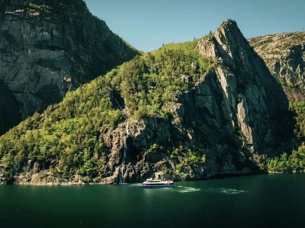
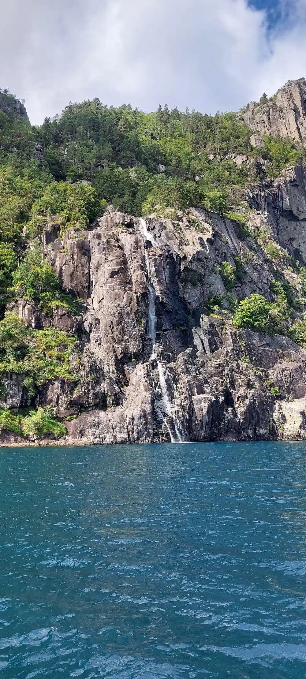
The electric fjord cruise from Stavanger takes 3.5 hours and calls at Fantahala, Pulpit Rock and Hengjanefossen Waterfall.[12]
Ferry Access: Water Routes Into the Deep Fjord
Water is the easiest way into the deep fjord, and there is a boat for most tastes. The Rødne Lysefjord cruise from Stavanger lasts 3-3.5 hours.[18] The electric boat on the same stretch is a 3.5-hour silent, hybrid-electric fjord cruise from Stavanger to see Preikestolen (Pulpit Rock) from the water.[19]
The electric fjord cruise to Lysefjord and Preikestolen, booked from this site, is from US$75 and lasts 3.5 hours, with an audio guide in English and Norwegian and stops at Fantahala, Pulpit Rock and Hengjanefossen Waterfall.[12] It is wheelchair accessible and rated 4.62 from 9,730 reviews.[12]
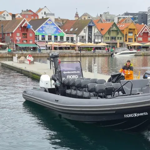
RIB boats go faster and closer to the rock. The Lysefjord RIB safari is a two-hour boat trip.[20] A RIB tour from Stavanger to Lysefjord and Preikestolen is from US$126 for 2 hours.[13] If you would rather paddle, private guided kayak tours on the Lysefjord are run for groups of up to 12 people.[21]
Adding a Second Day: Multi-Day Fjord Exploration
One day on the water shows you the fjord, but the walking is what brings people back. A two-day option, the Stavanger: 2-Day Adventure with Preikestolen & Kjerag Hikes, runs 2 days from US$1047 in a small group limited to 8 participants.[22] It puts the Pulpit Rock trail and the Kjerag trail into one booking, with a sightseeing cruise between them.
For a base inside the fjord, there are architecturally unique cabins in Lysefjorden designed to minimise environmental impact.[23] A night out here changes the trip: the end-of-day light falls on water that day trippers see only from a deck, and you start the next morning above the fjord instead of in the city.
Longer itineraries exist if you want the region rather than one fjord. The Stavanger: 3-Day Guided Private Tour with Preikestolen View is from US$1257[25], and the Oslo: 7-Day Bergen and Stavanger with Pulpit Rock Cruise is from US$2192[24]. Arriving by rail instead, the Sørlandsbanen from Oslo to Stavanger takes around seven to eight hours.[25]
Why This Fjord Draws BASE Jumpers and Climbers
The inner fjord is a vertical place, and the scale is the point of coming. Kjeragbolten is a boulder wedged 1,000 meters above Lysefjord, reached by a strenuous 12 km trail.[7] Preikestolen (the Pulpit Rock) rises 604 metres above the Lysefjord in Ryfylke.[16] From the water, both cliffs read as one continuous wall of grey rock with the plateau and the boulder somewhere far above your head.
The walls above the fjord draw climbers, and on the right day you may see wingsuits arcing away from the cliffs, tracked by everyone on the boats below. The trails to the viewpoints are busy in the same season, and the edges are unfenced rock with long drops, so the drama is not only for the people in the air.
If you are watching rather than jumping, pick a safe spot and stay in it. Trail edges and the plateau are open rock, the water below is deep and cold, and nobody on a boat can reach you quickly. Keep behind the worn tracks, hold on to children and dogs, and give the jumpers and climbers the space they came for.
Heights above the Lysefjord
Every bar is a height in metres taken from its fact: Preikestolen above the fjord[16], Kjeragbolten above the fjord[7] and Hengjanefossen waterfall[26].
From prices on Lysefjord tours
From prices in US dollars for these listings:[12],[13],[27] and[21].
When to go and how long it takes
Plan the deep fjord day
Start in Stavanger
Cruise ships berth at Skagenkaien, Strandkaien or Skansekaien in Vågen, so the city-centre waterfront is a short flat walk from the ship.[29]
Pick your water
The electric fjord cruise runs 3.5 hours from Stavanger with stops at Fantahala, Pulpit Rock and Hengjanefossen Waterfall.[12]
Drive or take the ferry
The fjord is 41 miles (66 km) from Stavanger, around an hour and a half by car, and the Kolumbus ferry to Lysebotn runs year-round.[9][11]
Add the Kjerag trail
The Kjerag hike is a strenuous 12 km trail to a boulder wedged 1,000 meters above Lysefjord.[7]
Climb the Flørli stairs
Flørli's stairway has 4444 steps, and it begins right above the village pier where the fjord ferry calls.[8]
See the fjord below Preikestolen from the water
from US$76Reserve now & pay later